by guest blogger Bonnie Spencer
April 27, 2019
CW and I took a week off from hiking. It was a much-needed rest for me, and we were able to take care of things requiring our attention at home. Now we are refreshed and ready for phase two: hiking the Scioto Trail section of the Buckeye Trail. We drove up to Xenia last night. We’ll hike three days this week and return to Xenia each evening rather than stay in a motel.
Day 8 (Tuesday): Stoney Creek Road in eastern Scioto Trail State Forest to Prussia Road northeast of Peck (11.0 trail miles)
I knew which pants I was going to wear today, but when I looked in the closet this morning to select a shirt to wear, there were no shirts. I panicked.
“Did you bring all the clothes in from the car last night?” I asked CW.
“Yes.”
“Where are my shirts?”
“I brought everything you laid over the dining room chair.”
I was mad at myself. My shirts must still be hanging on a doorknob at home. I don’t keep a lot of clothes in Xenia, but I scrounged up something to wear today.
“I’ll have to drive back to Kentucky tonight to get my clothes. I don’t even have the jacket I wear on every hike.”
“Or you could go to Goodwill.”
That wasn’t a bad idea. That’s where I got some of my hiking clothes.
“Hey, look what I found in the car.”
“I’ll go check the car again,” CW offered.
Well, that’s useless, I thought. How can you miss twelve inches of hanging clothes? I decided Goodwill would be a better option than driving home. And if they didn’t have anything, I’d have to scrounge more or wash out today’s find.
I had just decided it could be an adventure when CW walked in carrying my jacket and all my shirts. They had slid on the rod to the other side of the car! I know it isn’t easy getting everything we need to the place we need it when planning these hikes. But today I found out it isn’t even easy when we do have what we need where we need it.
Troll hair clouds (probably not a meteorological term)
On the drive east, we watched a sky like none we had seen before. It looked like a practice canvas on which God was trying out various cloud techniques. We saw patches of tire tread, window blinds, and fresh furrows in a field. On one side of the sky was a huge fish fillet; on the other side were the troubled waters from which it had been pulled, a sea of whitecaps. There were also clouds brushed out like the hair on a troll doll. A dab of color showed through a small opening. It looked like the colors displayed on a wall when sunlight shines through a prism. What an art show we were treated to! My camera shots through the car window could not capture what our eyes saw.
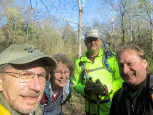
CW, me, Richard, and Dale
We arrived at our meeting spot at 9:00 a.m. Richard and Dale were waiting, each of them pulled off the road in the grass. This week we are hiking the second half of Scioto Trail because Dale needs these miles and the time coincides with when he was available. He is working on completing his first time around the Buckeye Trail. After this week, he will have only about a hundred miles to go. Richard will be hiking with us only today; he needs part of today’s miles for his second time around.
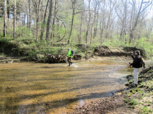
Richard and Dale fording Stoney Creek
We shuttled to the beginning and were on the trail by 9:30. Most of today’s miles were in Scioto Trail State Forest (STSF), a 9,600-acre recreational area south of Chillicothe. Within it lies 250-acre Scioto Trail State Park.
Our hike started with a wide fording of Stoney Creek. CW brought sandals and changed into them to cross. It wasn’t so deep that I couldn’t tiptoe across and stay dry. We would encounter many smaller streams during the day, but the only other challenge was a second fording of Stoney Creek. Once again, it was wide. I was able to use rocks under the surface of the water to get across. It took me a long time though because they were slippery.
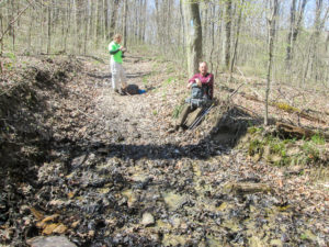
Dale and Richard waiting on the stragglers to climb the muddy South Headquarters Bridle Trail
Much of the BT followed some of the 26 miles of bridle trails in STSF. We were always glad to get to a footpath because the bridle trails tend to be muddy and uneven making them difficult to navigate. And when that is combined with a steep incline, our work is doubled.
We had plenty of hills today. They were often straight up, not employing switchbacks. On the
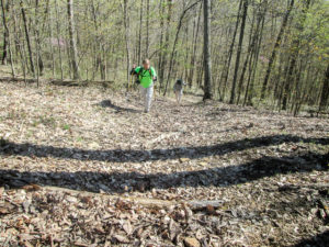
Dale and CW, onward and upward
early ones, I fared better since I was fresh and not so hot. It was sunny most of the day. As the day went on, the temperature rose into the 70s and I became more tired. The combination of heat and hills always depletes my energy. In the afternoon, I was dragging up the hills.
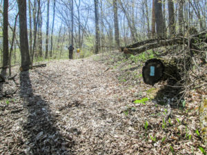
Bet you didn’t know that if you cut down a tree on the Buckeye Trail, you’ll find a blaze inside.
The blazing was all right. Some of it was old and needed to be freshened up, but we could usually find it. Only one area seemed to lack blazing. We had to guess which way to go at one fork—and we guessed wrong.
It was after 1:00 p.m. when we found an inviting log and sat down for lunch. I was too tired to eat much. I just nibbled on my snacks, contemplating how many hills were yet to come.
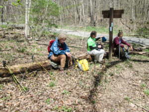
Lunch on a log on Howard Trail
The trees are still basically bare, which is why we got so much attention from the sun. Not good for me, but great for the wildflowers. Many bloomed along the path, and sometimes in the path: spring beauties, bloodroot, bluets, mayapples, violets, trout lilies, and one Jack-in-the-pulpit preparing to preach. Ferns were sending up their coiled fiddleheads.
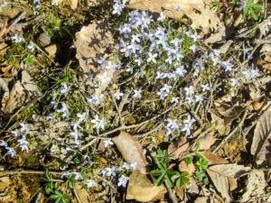
A patch of bluets
We finally left the forest and walked a couple of miles on roads. The first road was pleasant and quiet, passing some woods and residences. The other one was a busy four-lane highway, but we had an ample six-foot shoulder to walk in. It was windy along there, even without the huge trucks passing us. I was so hot that it felt good regardless of the fact it was blowing into our faces.
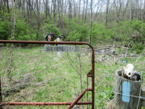
BT entering private property off US-23
Our last mile and a half was back in a wooded area on private property. Soon after entering, we forded a small fork of Moore’s Run. The creek was no problem, but getting up the opposite bank was a feat. It was a four-foot near-vertical climb. It took any energy I had left, which was unfortunate since it was followed by a steep hill. With a lot of rests, I made it up.
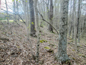
Walking parallel to the BT on a slope with no trail
On this property, the BT goes through a horse pasture enclosed with barbed wire. However, Richard led us on the outside of the fence because he had known of dogs being penned nearby. We walked on the side of a hill with no trail, stepping over logs and rocks. It was hard on my ankles.
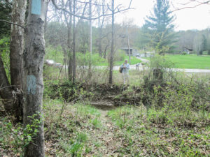
CW waiting on me at the end of the trail
Having made it through that, we were rewarded with another steep climb. I had to keep stopping, and sometimes sitting down. Richard and Dale were long gone. I urged CW to go on. The blazing was good so I wasn’t concerned about getting lost. When I finally reached the road, CW was waiting at the end of the trail. The others were at their cars. I finished about 3:50 p.m. I’m not sure about the others. The rugged terrain had been tough on everyone.
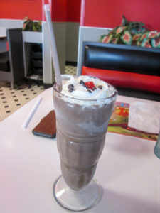
My reward—Hershey’s Dark Chocolate Shake from Steak ‘n Shake
Richard left for home. Dale took us back to our car, and we made plans for tomorrow. CW and I stopped at Steak ‘n Shake in Chillicothe for steakburgers and fries. I also got a Hershey’s Dark Chocolate Shake. It was deliciously rich. I certainly got my fill of chocolate.
Day 9 (Wednesday): Prussia Road northeast of Peck to Nipgen United Methodist Church (11.0 trail miles)
We met Dale this morning for our second day of hiking. We both pulled into the little parking lot at Nipgen United Methodist Church at 8:40 and shuttled to where we ended yesterday.
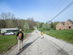
All quiet road walking today
I expected today to be less strenuous. All 11 miles would be on roads. Of course the hills would rise up throughout the day, but they wouldn’t be accompanied by uneven terrain, muddy stretches, or the chance of getting lost due to the lack of blazing. Even with the climbs, we could make better time.
Another encouraging factor was that the forecast I saw said it would be cloudy all day. Even though the temperature would reach the 70s again, I would feel better without the sun beating down on me.
Well, we did do better on the road hills, making pretty good time. The same amount of miles took us two less hours than yesterday. However, the clouds were not thick enough to keep the sun from casting shadows. It forced its way through for a large part of the day.
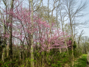
Dazzling redbuds welcomed us
This week looks like prime flowering time for the redbuds. Many delicate trees stood back among their neighbors, quietly capturing our attention with their vibrant color. The bolder ones lined the roads, insisting we notice them. How could we miss their splash of color against the greens and browns of the woods?
About three miles into our hike, we reached the BTA Schmidt Campsite. This is a small wooded lot (0.28 acres) donated by the children of Donald P. Schmidt for overnight camping by BT backpackers. There was no signage so we had to use the directions on our BT section map to locate it. We think we found the right spot.
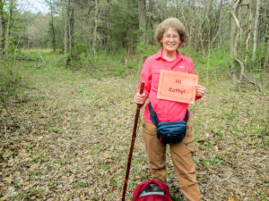
Greetings to Kathy from the BTA Schmidt Campsite
Ever since I read about this parcel of land in the Spring 2018 Trailblazer, I’ve looked forward to the day our hike would bring us here. That’s because the oldest of the Schmidt siblings was one of my dear friends growing up. I haven’t seen her in decades, but just standing in this spot was a connection with her.
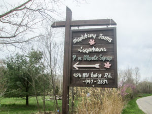
Mapleberry Farms on Mt. Tabor Road offers primitive camping to BT backpackers
Three and a half miles later, we saw two men working in a field by the road. They greeted us while we were still a ways off, asking if we needed water or anything. They told us about a primitive campsite just ahead. I realized it must be Mapleberry Farms. I’d read in the section map that they offer free camping on their property for hikers. The BTA is always trying to increase the campsites along the trail. I’m sure the generosity of people like the Schmidt family and Mapleberry Farms is greatly appreciated by BT backpackers.
Before we continued down the road, they told us what we wanted to hear (but not necessarily the truth): all the hills ahead would descend. But if we did come upon one that happened to go up, they said to just walk backwards and it would be like walking downhill. Hmmm.
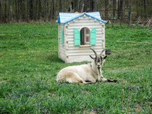
Billy was content not to chase us or run from us
We passed lots of yappy dogs today. Two actually came into the road and got closer than we liked. CW used his spray for the first time, not actually spraying the dogs but spraying in their direction. That was enough to make them back off.
The chickens, on the other hand, wouldn’t stick around. Why did the chickens cross the road? Apparently to flee the scary hikers, one of which tried to shoot them with her camera. The goat residing at the same house though was content to lie in the yard and watch us pass.
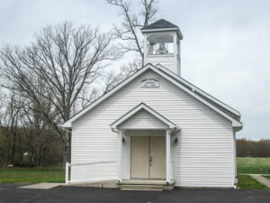
Eden Baptist Church in Pike County served as a stop on the Underground Railroad
Eden Baptist Church was along our route. It was organized in 1824 and originally stood three miles south of its present location. It was established as an antislavery church; several of its members were station keepers on the Underground Railroad.
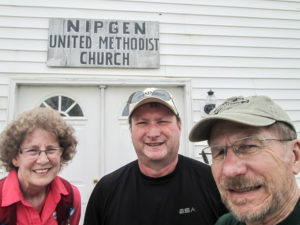
Me, Dale, and CW at hike’s end in front of Nipgen United Methodist Church
We finished hiking at 1:45 p.m. It had taken us less than 4.5 hours to cover 11 miles. Still, it was an exhausting day. We picked up the other car and then met at The Paxton Restaurant in Bainbridge. CW had been there recently with another group of hikers. It’s a comfortable family diner that has been remodeled inside and out over the past couple of years. The food was good and servings were ample. Everyone who comes in seems to know everyone else.
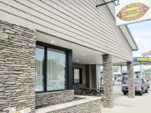
The Paxton Restaurant in Bainbridge
Dale will camp again tonight. CW and I drove back to Xenia. My ice cream came from The Dairy Station in Xenia: a scoop of Heavenly Hazelnut, rich dark chocolate ice cream with hazelnut fudge and crunchy chocolate cookies. Another winner!
Day 10 (Thursday): Nipgen United Methodist Church to Pike Lake State Park (9.4 trail miles)
I have not been looking forward to today’s hike. I was worn out from the past two days, and we would be back in the hilly woods on bridle trails. The temperature was predicted to reach the high 70s. And CW had talked about possible showers. All of my least favorite hiking conditions.
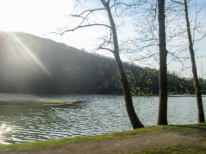
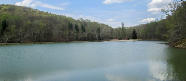
Early morning sun shining on Pike Lake
Last night I began to feel better when I saw there was 0% precipitation today, and it was supposed to be cloudy. I decided I could get through the day.
We had some sprinkles as we drove out of Xenia but not a drop the rest of the day. The sky, however, was partly sunny making the day very warm. My plan was to get as many miles in as we could before the mercury rose and the heat sapped my energy.
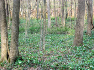
White trillium blanketed the roadside
We met Dale at Pike Lake State Park. That is where he camped the past two nights and where we would end today. We were a half hour early, but he was already waiting. At 9:00 a.m. we were shuttled and hiking.
The first mile was on roads so we got off to a quick start. We did have to stop, though, to admire the white trilliums, Ohio’s state wildflower. They were the first I remember seeing this year. They covered the roadside.
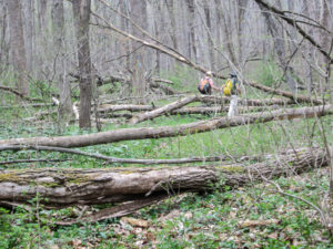
An unmaintained portion of the Buckeye Trail
The BT entered Pike State Forest on a footpath. The first mile and a half has not been maintained recently. In some places, a trail is not even visible; we walked on wildflowers. In other places, uncontrolled brush has narrowed the path. Many fallen trees have not been dealt with. Blazes are old. For a short segment, they were lacking altogether, or at least not evident to us.
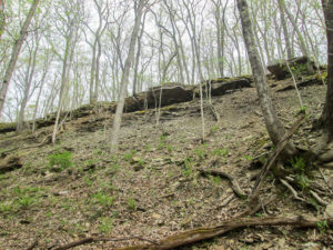
Sandstone cliffs above trail in Pike State Forest
The rest of the day, however, we enjoyed well-blazed trail, even if we sometimes had to brush multiflora rose out of our way and frequently had to make our way through those mucky bridle trails. There were also pleasant wider paths through pine stands and hardwood forest. Strong breezes often blew.
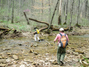
CW and Dale fording Morgan’s Creek on slippery rocks
From the section map, we knew we would encounter several significant creeks. The first one came right away, and we crossed it fairly easily. Subsequent ones were trickier because the rocks weren’t positioned well to get us across without wet feet. And they were extremely slippery, so I could hardly tiptoe on them. I barely managed to escape getting water over the top of my boots.
From the notes I had made for the day, I expected to find a pit toilet in the woods. The map uses abbreviations and said we would pass a PT provided by the Pike County Chapter of the Ohio Horsemen’s Council. I thought that was very considerate of them. However, it didn’t appear when we thought it should.
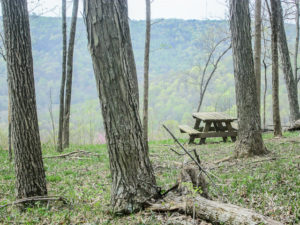
Unexpected picnic table on Robinette Ridge
When we found suitable logs, we settled for a bite to eat. I investigated and realized I hadn’t checked the map key. A pit toilet is designated with Pr (privy); PT is used for picnic table. Fifteen minutes later we were back on the trail, and before long we passed the picnic table with a spectacular view of the valley and neighboring hills.
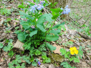
Bluebells and wood poppy
The hills were grueling. I had to stop often to rest. At least there were wildflowers galore to help me think pretty thoughts and that intermittent breeze to cool me. Two of my favorite flowers today were bluebells and wood poppies. We also saw a few toadshade trilliums.
And the hills were alive with the sound of . . . two fighter jets practicing maneuvers. Several times, they flew overhead, skimming the treetops and breaking the peacefulness of my quiet misery. But the guys thought it was cool!
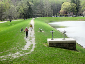
Crossing the dam at Pike Lake
At some unmarked point we entered Pike Lake State Park. Soon after, I was relieved to see Pike Lake appear through the trees. That meant our car was close by. We descended the last bit of hill, crossed the dam on a path of crushed limestone, and went straight to the car.
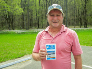
Dale completed the Scioto Trail section today
It took us 5.5 hours to hike 9.4 miles. We finished by 2:30 p.m., all of us exhausted. It was a tough week physically. Dale went home with another section under his belt. We, on the other hand, still have the first half of the Scioto Trail section to do. That will be our goal next week. It promises to be as physically demanding as this week was.
CW and I returned to The Paxton Restaurant on the way home and enjoyed huge plates of spaghetti. Farther down the road, we stopped at DQ in Hillsboro. I got a mini Caramel Canonball Blizzard.
Day 11 (Tuesday): Tar Hollow State Forest maintenance buildings to east of Dogwood picnic area on South Ridge Road in Tar Hollow (7.3 trail miles + 0.4 miles to car)
After a few days at home, we returned to hike the first half of the Scioto Trail section. On this trip, we will stay in Chillicothe. Although no one will be hiking with us these three days, we only had to drive one car. A college friend of mine and her husband live in the area and offered to shuttle us each day.
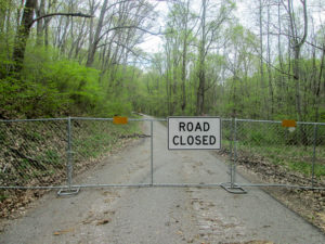
Slight change of plans
We met Marilyn and RD at 9:00 a.m., and they followed us to almost where we wanted to leave our car. That’s because before we quite reached the spot, we were surprised by a fence that extended across the road from bank to bank. On the map it looked as if we were close to where we wanted to be. Since we would be able to get around the end of the fence and our car was already parked in a spacious pull-off, we decided to leave the car there. We were taking a chance, though, because we had no idea why the road was closed.
Marilyn and RD dropped us off to begin hiking. I’m sure they were wondering why we were doing what we were doing. I can’t blame them. I ask myself the same question just about every day I hike.
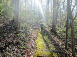
Sun shining on an early morning moss-covered climb
Today we followed the Buckeye Trail through Tar Hollow, Ohio’s third largest state forest. Its more than 16,000 acres contain 22 miles of hiking trails, 33 miles of bridle trails, over 30 miles of forest roads, and a primitive horse camp.
We knew the beginning of today’s trail had not been maintained for a while, so I expected the worst. However, I couldn’t believe how passable the paths were. We thoroughly enjoyed the easy navigation. We didn’t even mind the climb for the first mile because we were aided by switchbacks.
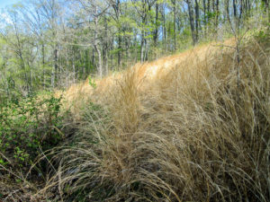
Firebreak under power lines is a hangout for ticks
The trail crossed a firebreak under power lines. It was tall grass and was the one place where a path was barely visible. We charged through as quickly as possible, then checked for ticks. We each found a few. Through the rest of the day, we wouldn’t find too many more.
Upon reaching the top of the ridge, the trail followed the ridgeline for over a mile. I flew down the path, stopping occasionally to make sure CW was still coming. My speed was partially weather related. The temperature was already 60 degrees when
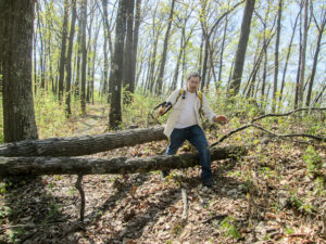
CW stepping over one of many downed trees
we began and would rise into the 70s. The sun was shining. I wanted to quickly put miles behind me while my energy level was high.
Another reason I wanted to finish in good time was that we would meet Marilyn and RD for dinner afterward and I didn’t want it to be too late. We were only hiking 7.3 miles today, but we never know what we might encounter in the woods to slow us down.
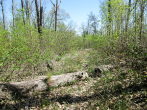
Brushy area where fire occurred several years ago
A great many trees were down across the path. Most we were able to step or climb over; one was easier to crawl under. A short piece of trail was more brush than trees. Several years ago, a major fire occurred there. When the present maintainer took over a few years ago, there was no way through the new growth. He had to bushwhack the trail using the available tree blazes as a guide.
It was past 1:30 when we reached the Brush Ridge fire tower. Like the Ash Cave fire tower we saw in March, it was built in 1934, but it is shorter at 73 feet. I didn’t look at it closely, but CW said the steps were not in good condition. That removed any temptation there might have been to climb to the top.
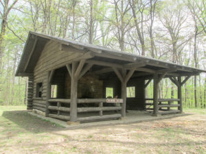
Dogwood Shelter in Tar Hollow State Forest
Next to the fire tower was a camping area for backpackers of the Logan Trail, a nearly 18-mile trail in Tar Hollow State Park. The Buckeye Trail had joined with the Logan Trail for the last half mile before reaching the fire tower. The area had no picnic tables, but we took advantage of a log and ate our lunch.
We continued on footpaths that crossed some roads and were often parallel to them. The trails were still decent. It was warm and we were slowing down but still making pretty good time.
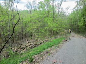
Logging activity on closed road
In 2.5 miles, we took a break at the nicely constructed Dogwood Shelter, just slightly off the trail, before finishing the last mile. The trail emerged from the forest onto a forest road that intersected with the northern end of the closed road.
We stared at an identical fence to the one we saw this morning. We were about to find out why the road was blocked. We squeezed around the end of the fence and began walking. Some equipment sat idly along the road; no one was working today. Trees lay all over the hillside where they had been cut down. Also a small sinkhole was in the middle of the road, but nothing prevented us from passing on foot. We were pleased that the 0.4 miles to our car was all downhill. We reached our car by 2:00 p.m.

Marilyn and RD, our friends and trail angels
Rain possibilities never materialized today. The trails were clear. We completed our 7.3 miles in about four hours—great time considering the hilly terrain. After we checked into our motel in Chillicothe, I discovered a tick feasting on me. CW used his tick remover for the first time. The little guy was stubborn but finally gave up.
We met Marilyn and RD at Bob Evans where we enjoyed a good meal and conversation. Afterward, CW and I made a stop at Walmart for a couple of things we forgot, and we picked up a pint of Velvet ice cream to split: Raspberry Fudge Cordial.
Day 12 (Wednesday): Lickskillet to Stoney Creek Road in eastern Scioto Trail State Forest (12.6 trail miles)
We changed our plan for the day as we left the motel to meet Marilyn and RD. CW suggested we flip-flop the hikes for today and tomorrow. Tomorrow we would be hiking farther and through more off-road areas. Also, a lot of rain is predicted for tomorrow, which could create some messy trail. We quickly made arrangements to change the shuttling and do our longer hike today.

A fellow traveler on the BT
Marilyn and RD dropped us off at Goshen Run Church of God about 9:30 a.m. and drove away. As we were still getting our backpacks on, three men in camouflage and black face paint came out of the woods across the road carrying rifles. While two men got in the truck, the third one called over to us. He held out two large mushrooms and asked if we wanted them. We declined since we would be hiking all day and wouldn’t know what to do with them anyway. The scene struck me as hilarious. I had no idea guns were needed to hunt morels—or that you had to be so stealthy.
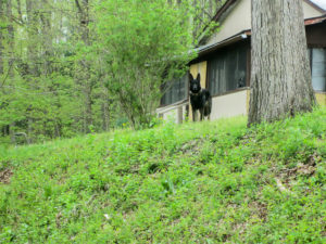
The friendly Neighborhood Watchdog
The first mile was on road and went quickly. It also provided our first dog encounter when a black German shepherd ran down a long driveway in our direction. German shepherds are high on the intimidating list for hikers. The strange thing about this one was that he didn’t make a sound, as if he were respecting the reverent peacefulness of the morning. He reached the road before we reached the driveway and turned in front of us, taking off down the road. He turned in the next driveway about 50 feet away and watched us. As we neared, he ran on down the road to the next driveway and disappeared. Still he hadn’t made a sound. I expected him to reappear and take off again, but when we reached the driveway there was
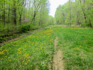
Someone forgot to mow the path
no sign of him. I turned to see if he might have circled around and be ready to pounce on us from behind. The road was empty. I finally spotted him standing on the high bank, silently watching us. That was a fun game.
The fun diminished a bit when we went off road. After going down a lane, the trail went through a grassy area that was supposed to have a mowed path. Nothing was mowed, but the non-path was brightened by an abundance of golden ragwort.
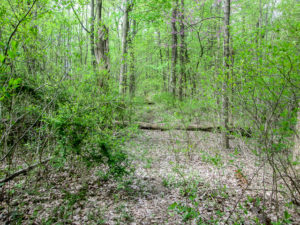
Not our favorite trail with sticker bushes in the path
The trail followed several old roads through forest for a mile and a half. We didn’t mind the wide dirt or gravel roads. But others were grassy, or they had sticker branches that had to be moved out of the way with our sticks.
Then we couldn’t find blazes. CW’s Avenza map eventually helped but if two paths are close, which was the case for us, you have to walk a ways before you can see if you are on the correct trail. It slowed us down considerably.
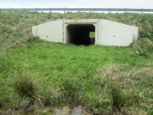
The Buckeye Trail goes through tunnel under US 35
The trail reached US 35 and passed underneath it through a tunnel constructed by ODOT for the North Country Trail. We came out onto a grassy, brushy hillside above a wooded area where we had some difficulty finding blazes again but no difficulty finding the ticks.
Then we reentered the woods where many of the trails were narrow and not well maintained. It was annoying to have to keep stopping to check for ticks. But we did enjoy the ferns and wildflowers that were everywhere. And we relished any wider
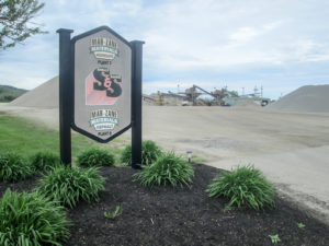
Mar-Zane Asphalt Aggregates on Higby Road
road the BT joined. After three hours of hiking, we took a lunch break and did a good check for ticks since we had a short reprieve from the woods coming up ahead.
We had a mile on Higby Road. While shuttling this morning, we noticed a Porta John on this road at Mar-Zane Asphalt Aggregates, a huge asphalt mixing plant. When we got there, CW went to the office and got permission for me to use it. Then we continued to the end of Higby, crossing the Scioto River.
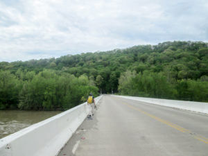
Crossing Scioto River on Higby Road Bridge
Ahead of us was a hill to conquer. We had two miles to cover in this section of Scioto Trail State Forest. I had been dreading it all day. The Buckeye Trail map said the first ascent was very steep for a quarter of a mile. It gave a percentage grade, always a bad sign. CW remembered it being straight up. However, we discovered it utilized switchbacks and really wasn’t any worse than most other climbs we’ve made.
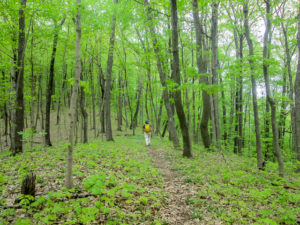
The forest in fresh spring green
The two major ascents were mixed with descents and generally flat terrain, all very well maintained. We saw a great variety of wildflowers, some we hadn’t seen this season yet. The forest was greening up, wearing the fresh beginning-of-the-season colors. These two miles were my favorite section of the day.
The last 4.2 miles were a detour on roads because a portion of the wooded trails are temporarily closed due to active logging. We were aware of this from the travel alerts on the BT website, so we already had it figured out. We made excellent time on the roads and finished by 4:00 p.m.
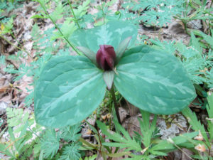
Toadshade trillium
Except for the ticks, some unmaintained trail, and some lack of blazing, the day was great. It was cooler than yesterday. The sun was out periodically, but much of the day was pleasantly cloudy, sometimes with a breeze. We would not have wanted to do many of today’s trails in rain. And we shortened our day for tomorrow.
We ate at Steak ‘n Shake again. I got a Reese’s Chocolate Peanut Butter shake.
Day 13 (Thursday): east of Dogwood picnic area on South Ridge Road in Tar Hollow to Lickskillet (9.8 trail miles)
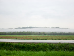
Morning fog obscures the distant hills
The rain was supposed to arrive after midnight and continue through much of today in varying degrees. This morning the fog was heavy but the rain was light. Not knowing if the sky would open up later, we packed our ponchos and wore our rain jackets. I also wore my rain pants, largely because of the messy woods I expected. This is our thirteenth day of hiking and we’ve had no rain to speak of. We’re certainly due.
We met Marilyn and RD in Lickskillet at 9:00 a.m. There were no gun-totin’ mushroom hunters today. They shuttled us to where we would begin hiking in western Tar Hollow State Forest. We took a long windy forestry road to
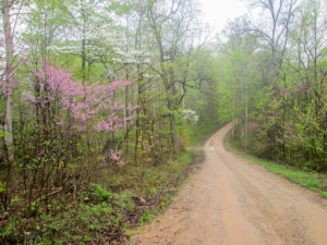
Forest road through Tar Hollow State Forest
get to the northern end of that closed road. We said our thank-yous and goodbyes and watched our trail angels drive away.
With only a gentle sprinkle, we set off down a brown forest road. The redbuds were at their best, joined by white dogwoods. It was in the 50s and pretty much a perfect morning. The sprinkles came and went for the first two hours. Then all rain disappeared and the sun played peekaboo.
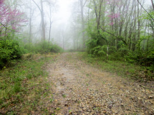
Gravel bridle trail
After two miles of this beautiful forest setting, we entered the woods on a bridle trail. At first it was wide and rocky, but for the next three miles the trail would serve up a variety of paths. Some bridle trails were churned up mud. Narrow footpaths were edged with tall brush or had grass growing up in the middle two feet high. We walked on packed dirt or swampy leaves. The trail was constantly changing in some aspect, so there was no monotony. None of the woods was treacherous, though, as I was expecting after the “big rain.”
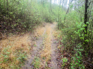
The grassy path where I fell
The mud and some climbs slowed me down, but I kept moving at a good clip. While going downhill on a grassy path, I slipped on a rock and fell hard on my back on top of my backpack. My rain jacket kept my pack clean and my rain pants kept my pants clean, so I was happy. The only thing I hurt was my left hand, the same hand where I broke two fingers a few years back. Nothing seemed to be reinjured though so I was doubly happy. That was fall number three for me, and I’m starting to get used to them.
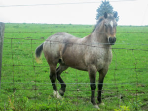
Pausing to make a new friend
We emerged from the woods onto a country road that went through farmland. It was sunny and warm. I had packed my rain jacket away by this time. We moved swiftly because we were headed for Londonderry and would go right past the donut shop. All morning we had been thinking about getting soup. I only slowed to take pictures of cows, goats, and a horse.
We reached Family Donut Shoppe at 12:30. Chicken noodle soup was on today’s menu, so we each got a bowl. CW jawed with a couple of the other customers the whole time we were there. I was too tired to talk much. I was content to eat my soup and just listen.
CW climbing over gate into a cow pasture
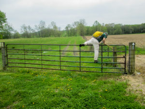
Over a half hour later, we were back on the road. In less than a mile, we turned off of busy US 50 onto a smaller road and eventually climbed over a gate onto private property. The BT then went through a huge cow pasture. There were no cows today but they had left large traces behind. I definitely had to slow my pace and watch where I was stepping if I didn’t want CW to tie me on top of the car on the drive home.
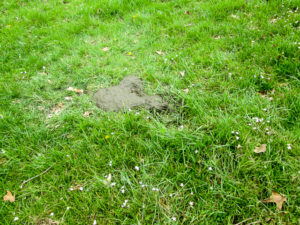
No cows today . . . only lots of this
Before we left the pasture, CW had a little project to complete that he was planning all day. He knew of a particular rise in the field that just begged for Julie Andrews imitators to spin and sing “The hills are alive . . .” He wanted a short silly video to send to a hiking buddy in which he would fall on the ground. He scouted a safe place to fall (if you know what I mean), and I used his camera to video him spinning with his hiking sticks and singing.
We gingerly made our way through the rest of the pasture, climbed over another gate, followed the road into Lickskillet, and reached our car at the church by 2:20 p.m. We hiked 9.8 miles today and were relieved to have escaped the predicted rain.
We drove home to Kentucky. On the way we stopped at Whit’s Frozen Custard in Waverly where I got a mini Grasshopper Whitser with chocolate flakes and mint.
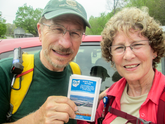
Over the past two weeks, we have hiked 61.1 miles, completing the Scioto Trail section. We enjoyed the help from and the company of Dale and Richard. And we are grateful for our friends, Marilyn and RD, shuttling us for three days; they have joined the rank of trail angels. We have only four more sections left to complete the Buckeye Trail. I’ll be back soon with Part Three to share our experiences through the Sinking Spring section.
Scioto Trail completed

